Saturday, October 6, 2018

UTMB – CCC 2018: race reflections


Rewind four years to the same race on the same day.  A debilitating mixture of blisters and stomach problems saw me pull the plug on the CCC at Trient after around 17 hours in 2014. I could justify it to myself; I wanted to finish then, but it wasn’t that important; the physical discomfort was ridiculous and I couldn’t fuel myself, so it was only a matter of time before I ground to a halt; it was only 28km to the finish, but that could be another 9 hours and I just didn’t have it in me.  I wasn’t sure I would want to return or even get the opportunity; I did.

31 August 2018, 9am, I stood at the start line at Courmayeur. The crowds, the music, the atmosphere was familiar, the nerves. I don’t remember a camera drone in the air in 2014, but otherwise I’d been here before.

This is a story of how it was different.  Why did I finish this year and what did I learn?

I did a post on preparation for the CCC here after my first go.  Hills, hills, hills.  The only thing that mattered.  I was right and I still believe it.  But there’s also race management.

So I prepared for hills.  There’s a little 60m vertical hill near home.  I went up and down it hundreds of times in the six or seven months leading up to the race.  There’s a 250m hill an hour or so away and I went up and down it many dozens of times.I measured my training weeks by time running and vertical metres gained; distance covered didn’t really matter. 

As the race drew closer, I was strong enough to run up almost any hill.  Not fast, but not walking.  It was a matter of pride not to walk while I trained.

There are long runnable sections in the CCC.  Between Bertone and Arnouvaz on the Italian side, from Grand Col de Ferret through to Praz de Fort on the Swiss side and a few bits after the major aid stations before the big climbs in Switzerland and France.

But it’s all about the five hills.  The first 1460m hill to Bertone and the four 800m hills to Grand Col de Ferret, to Le Giete, to Les Tsepes and the final hill to La Tete aux vents (the last hill was slightly different this year, with similar vertical).  All steep, all technical going up and down.

I did gym work once or twice a week for the last four months, focussing on my legs, but also on the upper body (poles require strong shoulders, upper back etc).  And speed work.  I did sprints, fartleck, lots of intervals.  Building strength, as well as running economy.

On race management, I concentrated on the two things that tripped me up last time.  Blisters and nutrition.  I had six pairs of Wrightsocks that I used during the race.  I changed socks five times, every 20km or so, and applied Bodyglide liberally to my feet.  No hotspots.  I didn’t see anyone else doing this, but whatever, it worked for me.

For nutrition, when it gets hard for me to eat anything after about 10 hours, I would eat small amounts of bars, gels, other food and sloshed it down with liquids.  It meant I got through a lot of liquids, meaning I had to carry a lot.  Which, on the plus side, also meant I didn’t get dehydrated.

I would eat every hour and, for about 20 minutes after eating, I would need to reduce the intensity as the food digested, but could then build it up again afterwards.  I also used Tailwind for liquid nutrition.  That got me through the first half of the race, but was harder in the second half, where I used more water and solid foods for calories.

Possibly the most important thing I did in preparation was a three day training camp on the course, about a month before the race.  As well as being a solid pre-race workout, it was huge for my confidence.  I knew every step of the five hills, I knew how hard they were, but also not as hard as I had feared.  I knew when they ended.  I trialled my nutrition, my pace, my gear. I learned new tricks, especially going downhill. I found out where the springs were, where I could top up on my water. It helped with the night section of the race, having done it during the day, knowing the surroundings. 

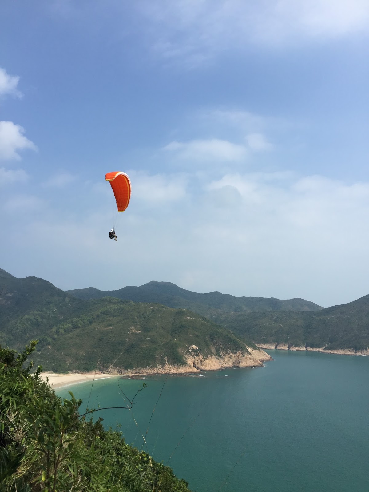
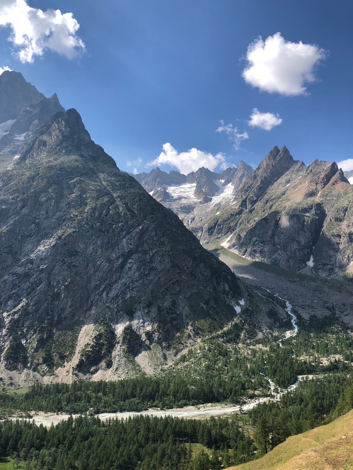
The photos on this post are from the camp. 

I arrived at the last aid station, La Flegere, at 9.30am on the 1st, 24 hours after the start.  I was going to make it.  I had 2.5 hours to finish the final downhill 8km stretch into Chamonix.  Waves of relief were surging through me, I smiled so much my face hurt.  I floated down the hill, thanking people for their congratulations.

As I entered Chamonix, I was deliriously, deeply happy, winding through the town centre towards the finish line, the cheers, the smiles matching mine.  I never want to forget that moment.  I met with my son, Callum, on the last 100m or so and he videoed me coming into the finish. 

25 hours, 24 minutes.  Done.  


With grateful thanks to: my dear wife Fiona, for everything; Callum and Kirsty, for crewing me at Champex Lac and Trient and celebrating with me at the finish; my other son Hamish for his long distance support; my coach, Martin Kern, for getting me there; Victor and Liz who never gave up on me; my other friends and family for their strong support; Eric, Christophe x 2, Florence, Olivier and the others I had the pleasure of meeting at the camp.


Saturday, September 16, 2017

Ultra Trail Monte Rosa race 2017

The Ultra Tour Monte Rosa (UTMR) is a group of races held over a few days in early September, traversing around the Monte Rosa massif in north western Italy and ending in southern Switzerland. 

The race director is Lizzy Hawker, a trail running legend, with a series of impressive victories on the world stage, including the nearby Ultra-Trail du Mont-Blanc (UTMB) on five occasions.  Lizzy used the UTMR route in her training for the UTMB and, according to Lizzy, it’s 30% harder than UTMB.  

What attracted me to this race was that it was a challenging event, in this location, and you could do it over three days (some did the longer 170km route over four days or either as a single stage).  The organisers carried your bags to the next village where you would stay that night in a small hotel with a proper cooked meal and a good night’s sleep.  That much, luxury.

I did the 3-day event over 116km, with 8100m of ascent and 8400m of descent.  Among those numbers, the notable ones are 8100 and 8400.  They tell the story of long climbing days and tenderised quads.  In fact, they don’t tell all the story, because of the altitude factor.  There are three mountain passes to cross of over 2800m and two more over 2600m, plunging down to villages as low as 1200m.  This means lowered oxygen levels, which in turn means elevated heart rate, diminished performance and, maybe, altitude sickness.

But it also means impressive views of towering mountains, glaciers that you feel you can almost reach out and touch, alpine pastures with delicate flowers and flowing braided rivers, rock fields made of giant’s dice and trails that cling to precipitous mountain sides that you daren’t look down.

Each of the three days involved a mountain pass, dropping to an alpine village (where there was an intermediate cut off and an aid station), climbing another pass and then down to the final village for the day. 

The first was the short day (29km).  An opportunity to measure yourself against the conditions, test your equipment and fuelling strategy, experiment with pacing and get used to moving quickly through the mountains.  The day was perfect; hardly a cloud in the sky, with just enough breeze coming up the valleys to keep things comfortable. 

The mountain passes were marked with Buddhist prayer flags; a sign that this was indeed Lizzy’s race.  From those high points, the massif revealed itself with dozens of high snowy peaks stretching into the distance.

It was a fairly comfortable shakeout day with a relaxed cut-off time.  The body felt good and there was energy in reserve for the two days to come.  We spent the night at the village of Gressoney-la-Trinité. 

Being a stage race, there was the opportunity to get to know your fellow runners.  We eat a communal dinner at the hotel and breakfast together in the morning.  We swapped tales of the day just gone and speculated on the day to come; we questioned those who had done the race before for nuggets of information.

The second day (46km) began with a steep 1100m climb over the first 9km to reach 2900m.  The sun had gone, the wind was rising and the temperature fell as we reached the top of the pass.  Three layers on, gloves and a warm hat and I was still cold.  My numb fingers fumbled with getting food from my pack. 

Getting down the hill meant a rise in temperature, but slow going as the technical, twisting, rock-strewn descent allowed few opportunities to establish a regular running pattern.  On and on it went, dropping further and further.  An Ibex peered at me shyly from behind a rock on the way down. 

At the bottom of the hill was the pretty town of Alagna and the next aid station.  The Walser people have inhabited these alpine villages for centuries, with the first migrations from Germany going back as far as the 13th century.  The Walser have their own dialects and customs, farming goats and cattle for milk and cheese and maintaining gorgeous, flower-filled villages.  Now and then, you see wood carved faces, a sign of ancient cultural beliefs.
Now the winter sports industry has a strong presence in this area, with ski lifts running up the valleys out of each of the villages.  Still, it’s not very intrusive and you look past to see the vistas around without too much distraction.

The day’s second climb followed a paved path created by the Italian army in the 1920's over the top of the pass at 2700m.  Large stones had been hewn from the surrounding rock in a massive engineering effort.  The technique to get up the hill was to leap from large stone to large stone as the early gentle gradient of the track became substantially steeper as we reached the top.  The temperature dropped again into the low single digits.  We were wrapped in mist and my breathing was laboured.  The views of the previous day only suggested themselves from time to time when the cloud parted, only to quickly close again.

The steep, technical descent gave way to open fields, as serpentine rivers laced through the valley and a nice, runnable section led to the finish at Macugnaga, still in Italy.  I made it in within 40 minutes of the cut-off time.

The third day was slightly shorter than the second day (44km), with less ascending and descending.  But it proved to be the most difficult stage for me, mainly because of the conditions and the intermediate cut off at Saas Fee.

The first climb to Monte Moro Pass was another 1500m ascent over 7km to 2800m.  Like the day before, the temperature was cold and you definitely felt the effects of the altitude.  The golden Madonna at the top of the pass marked the border between Italy and Switzerland.  I just wanted to get off the hill, but icy slopes and large boulders acted to slow the descent.

While the intermediate and final cut off times of the previous days hadn’t been that much of an issue, today was different.  I was aware there was still some way to go before Saas Fee and the cut-off was six hours.  I needed to up the pace coming down the hill and, when I reached the bottom, there was still a 5km incline to reach the aid station.  I was working hard and the pace I had to maintain on this uphill sapped my energy.  I made it with a few minutes to spare, hands on knees, chest heaving.  It would have been gutting to miss it and plenty of good runners didn’t.

Someone said the previous day that, if you met this cut-off, you should make it to Grächen within the overall 12 hours.  Although there were no more big hills, it definitely wasn’t over, as I climbed out of Saas Fee onto the Hohenweg path that wound up and down along the high trails above the valley for the next 17km.  In retrospect, these narrow trails were fairly treacherous, with drizzling rain now falling and slippery rocks and shifting scree slopes, coupled with fatigue, you were a small misstep away from tumbling down the valley.  Progress was quite slow and it was hard to work out how much further there was to go. 

Then the path began to steadily descend as we reached Hannigalp aid station.  There was 3km to go and I had an hour and a half to do it.  I had made it. 

Lizzy greeted me as I arrived in Grächen and put the medal and scarf around my neck.  My total time was just under 30 hours and I felt great.


Sunday, December 4, 2016

Kepler Challenge - race reflections

The Kepler is over for another year, this my second time running this superb race.

These are some thoughts on what to expect running the Kepler, for those that haven’t yet had the privilege.  And I do think it’s a privilege to traverse this track, one of New Zealand’s great walks.  It’s what brings me back to it, together with the amazing community spirit from the people of Te Anau that wraps around it.

I’ll mention the community spirit first.  There’s quite a different feel about a race that has the passionate support of the local community and, perhaps incidentally, that is not-for-profit.  Te Anau is a small town on the edge of a beautiful wilderness.  It is the jump off point for excursions into the Fiordland National Park, including the Kepler and Milford Tracks.  The Kepler Challenge appears to have a special place in the heart of the people of Te Anau.

As a runner, this community spirit displays itself in the aid stations, which for some of them have become performance art.  This year we had hippies, Where’s Wally, Santa and the Papal Curia.  We had a group of well-wishers that had camped out on the side of the lake to cheer us on has we turned up the hill towards Luxmore.  We had groups of locals that had gathered at the points in the track that can be accessed from the road or water.  All full of smiles and encouragement.  And it lifts you.  Excellent effort Te Anau.

I think of the race in five parts.  The first is the gentle trail around the lake, with the sun reflecting off the glistening water.  The second is the climb through the forest up to Luxmore Hut.  The third is the alpine section over the tops.  The fourth is the drop down into Iris Burn.  The fifth, the longest, is the second half of the race past Lake Manapouri and down the valley to the control gates at the finish.

The gentle trail around the lake is a warm up, with the chill air of the early morning and plenty of banter among the runners.  The second part up to Luxmore Hut is what I would regard as a steady climb, not technical and not particularly challenging.  Most people are walking, but it is definitely runnable.

My key tip at this stage is to change into warmer gear before you hit the alpine section above the tree line.  I put on a long-sleeved top, my parka, my hat and gloves.  Once over the tree line it can feel like you have stepped into a fridge.  This year the wind wasn’t too bad, but with wind chill it was approaching zero degrees.  The previous time I did the race, I got changed after I realised it was cold, and spent ages shivering and fiddling around trying to put on my gear.

The third part, across the tops, is honest mountain running.  You are almost certain to have your bag checked for the compulsory gear at Luxmore.  The trail becomes narrower and gnarlier, with snow and ice patches this year to contend with.  It didn’t feel all that treacherous this year, but if the wind gets up it feels quite different. 

It’s pretty clear when you are on the tops that you need decent trail shoes.  There were quite a lot of runners that were using normal road running shoes and the lack of grip would have been unnerving for them on this stage.  Plus, you are smacking into rocks from time to time and need toe protection. 

The race website says the vertical is about 1.3km, but my Suunto suggests it was closer to 2km.  It felt more like 2km to me.

The fourth part is the drop down off the alpine section into the tranquility of the valley below.  The trail is basically pretty smooth in this section, which allows you to open up a bit on the descent, flowing into the switch backs with a good racing line.

The one thing I would say about the aid stations is the food is basic.  You really just have oranges and bananas, which means you need to carry all the supplemental nutrition to get you through the race.  Oh yes, they also have jelly airplanes.  But there are lots of aid stations, around 10.  This means you are never much more than 60-90 minutes from an aid station.  This means you don’t have to completely fill up on water and so carry less weight.

The final, longest, part is the 30 odd kilometres down the valley to the finish.  This could best be described as meandering, rolling terrain.  The track is very good and you can get a rhythm going.  It is beautiful, alongside the river, but there is not much variation here.  Just drop into a meditative state and power through to the finish.

Just before turning into the finishing straight, a guy approached me with a film camera and asked what I thought of the race.  I said I really loved this race and appreciated the warm support on the trail.  


It’s such a special race in a special part of the world.  

Saturday, November 12, 2016

Dolomiti di Brenta race 2016

Scrambling up the steep scree slope leading to the final pass at Bocca di Brenta, one of the mountain safety guides called my name, “from New Zealand?” yes, “a lawyer?”, yes, “I am a lawyer too!”.  It was hard to maintain a footing with the rocks sliding under my feet, but I was able to brace myself with my poles and shake his hand.  It wasn’t far to the top he said, maybe 25 minutes.

It was a nice moment, at one of the toughest parts of the course.  I was somewhat of a curiosity - one of only a few non-Italians in the race and probably the only one from the southern hemisphere.  How did I find out about the race, Herbert was curious to know when I registered?  I was travelling to Europe in September and wanted to run a race in the mountains. I knew of the Dolomites’ reputation and this was a great choice.

This was year one of the DBT.  A year zero was held in 2015 to test out the course and race organisation.  There were 300 entered in the 64km race and the same number in the 45km race.  I was participating in the 64km with 4200m+.  It had the ambiance of a local race, low key and down to earth, but in a stunning setting. 

The race was at the start of September.  It begins and ends in Molveno, a small lakeside village in the Dolomites, in Trentino in north-eastern Italy.  This year’s Giro d’Italia had passed through the area.  The riders would have strained to climb the hills and thrilled at the descents.  The weather forecast for the race day was good, we were told at the briefing, with thunderstorms around the area in the late afternoon.  This meant we would have a good view of the mountains.

There were three main passes to climb, each at around 2300-2500m.  Molveno was at about 800m and the first ascent was about 1500m+, with the other two passes involving less climb and a long descent at the very end of about 1700m- down to Molveno.  With each pass came a new landscape and a new set of experiences.  We would roughly circumnavigate the Cima Brenta mountain range, an area rich in mountaineering history and a UNESCO world heritage site. 

The race began at 6am and we climbed gently on a wooded trail alongside the river on the way up to the neighbouring village of Andalo.  The sky started to lighten by the time I reached Andalo and the serious climbing began up through the Polsa forest.  The rising sun cast an orange glow through the trees.  The sign on the side of the trail said “bear country”; there are about a dozen brown bears in the area, probably keeping well clear of humans.

Emerging out of the forest and cresting the hill, I turned into Val Dei Cavai for the climb towards Sella del Montoz.  The race was unfolding well ahead of me as I worked my way up the valley with a view others at the back of the field.  The temperature dropped again in the shade of the steep hills all around the valley.  I climbed steadily and within myself with the prospect of a big day ahead.

I dropped down the trail into Val di Non, as vistas opened up of the valleys far below.  It was a long, easy traverse down to the aid station at Termoncello.  I snacked on ham and parmesan cheese and tried to chat with the aid station volunteers.  My Italian was limited, as was their English, but we communicated enough to express warmth and gratitude and point the way. 

The next stage of the race had begun.  The route wound through an open, grassy valley of Campo di Flavona.  The valley is populated with chamois and mountain ibex, as well as alpine cows with noisy bells, maddeningly ringing constantly.  Towering mountains loom on one side.  These mountains eroded over time, revealing the vertical and gnarled faces of dolomite rock, surrounded by an enormous skirt of scree at its base.  The route was indistinct, with many trails crossing the race route at various places.  This valley had clearly been a cross-road for travellers throughout the ages.

I climbed into the alpine area and around to the top of the next pass, the Passo del Groste.  Just over the top was the next aid station at Rifugio Graffer al Grostè.  The ski chair lifts carried mountain bikers up to the top and I descended with riders down the slope towards Rifuge Casinei and then into the rich valley of Valle Sinella.  I was about an hour inside the cut off time at this point.
A short climb pushed up towards Rifugi Tuckett e Sella.  Many of the mountaineering routes seem to begin at the rifuge.  There was a surprising mix of day trekkers walking to Tuckett and back, with serious climbers preparing to scale the surrounding mountains.  “Salve” is a way of saying hello in alpine Italian and I said it dozens of times on the route up to the rifuge. 

The route up to Tuckett was a struggle, made more difficult by nausea and stomach troubles.  Slowing down, taking shallower breaths, allowed things to be brought back under control.  I rested a while at Tuckett, enjoying the views and chatting to other back of the pack runners. 

Dropping down from Tuckett opened up the valley of Val Brenta, with hanging glaciers on the other side and vertical drops to the floor below.  This stage of the race was the most spectacular and all adjectives seem trivial to describe the beauty of the area.  There was a small shrine along the path, with name plates and pictures of several dozen climbers who had perished over the years in the mountains.  You couldn’t help but pause and pay respect to these climbers for their endeavour and risks they faced.
As the path carved its way around the side of the mountains, I approached the head of the valley at Bocca di Brenta.  The trail opened up onto a field of large boulders that could only be clambered over or around and then navigating up the scree slope, where I met my lawyer friend. 

This was the last mountain pass at about 50km and the friendly welcome at Rifugi Tosa e Pedrotti was had just on the other side.  There was still about 90 minutes of daylight left and I made my way quickly and as carefully as I could down the rocky and twisty path.  The finish felt within reach and I did not want to roll an ankle at this point.  The light of day faded and the remainder of the race would be under the beam of my head torch, picking out the white of the rocks on the trail and the race ribbons every 100m or so. 

The beam narrows your vision, but every once in a while, I was aware of a drop off to the side of the trail, requiring focus to avoid stumbling, but also to avoid stepping on the mountain toads that populated the trail.  I dropped further down into the forest and then the lights of Molveno could be seen below.  The final stretch wound through the old part of town and down to the lakeshore to cross the finish line.

My finish time was 16 hours 44 minutes.  I thought I was going to be comfortably inside the cut off time of 17 hours, but the descent into Molveno took longer than anticipated; if I’d spent 3 or 4 more minutes at each of the aid stations, I wouldn’t have made it in time.    


The DBT was a very well organised race in an outstanding part of the world and I’m delighted to have had the opportunity to participate and reach the end.  Thanks to Herbert, Elisabetta and the team!

Saturday, November 5, 2016

MacLehose Trail stages 1, 2 and 3


This was my return to the great MacLehose Trail after completing stages 4 and 5 a few years ago (here’s a link to my post on that).  I’ve now completed half the stages!

I flew into Hong Kong at 6.30am from New Zealand, dropped my bags off at the hotel and got on my way.  From Tai Koo, I took the MTR to Choi Hung (about 20 minutes on a Saturday morning), then a minibus to Sai Kung.  And then another minibus to the start of the first stage at Pak Tam Chung.  All up, that was probably about 90 minutes from my hotel.  It’s quite straightforward (and inexpensive).

I went to the visitor centre at Pak Tam Chung and got a map of the trail.  I told the guy I was doing 1, 2 and 3.  He politely suggested that I stop at the end of stage 2.  Stage 3, he said, would be “strenuous”.  I liked his understated manner; he proved to be right of course.

Each stage is about 10km.  Stage one circumnavigates the western and southern sides of the very large High Island Reservoir.  It’s all on road and pretty much flat.  There’s a stream of taxis to contend with, dropping people at the far end of the stage, at the East Dam.  The reservoir is scenic and you get to view the hills to the north of you that you will have to cross over in stage 2.  There was little shade and the day was beginning to warm up.  It’s a gentle start.

Stage two is a bit more serious at the start.  There’s a 300m climb to Sai Wan Shan, where views open up to the coast, dropping down to a series of white sandy beaches.  The Oxfam Trailwalker 2016 is in a few weeks and it follows the stages that I was on, plus a few others!  There were a number of teams training on the course, probably wondering what they’d let themselves in for.

The beaches had a number of day trippers, with boats ferrying people to and from Sai Kung.  There were little restaurants where I topped up on drinks and got out of the heat of the sun.  This stage of the trail was very busy and had by far the most people.  It’s great the way that the people of Hong Kong use their lovely country parks.  I was greeted with lots of smiles and hellos.

The trails in this stage are mostly concreted.  This stage must be one of the most accessible and popular on the MacLehose, so it maybe makes sense.  But it somewhat takes away from the experience of being out in the parkland.  It’s also the most picturesque stage, with nice viewpoints on the headlands between the beaches.

The stage ends at the road at Pak Tam Au.  There’s a little shop here where you can top up on supplies (there’s no shops on stage 3!).  It looks like you could flag a taxi or take a bus back from here if you choose to stop at the end of this stage.

Stage 3 is the real thing. The crowds vanish and the Trailwalkers and a few others were the only other people on the trail with me.  The trails were a mixture of rocky, some stone steps and hard packed clay.  The concrete paths were gone!  There were a few areas where you could open up to a run, but mostly it was trekking for me.

The first climb was the hardest of the day; about 3km with about 380m+.  Fortunately, there’s shade, but it was a laborious climb.  The views in this stage were more distant as you move further away from the coast.  The flight path was overhead and planes flew over every minute or so.  I wondered if they could see me and made a note to check if I could spot anyone in the hills next time I flew in.

The long descent brought me down into a valley.  I had a faint hope that this would be the end of the stage, as there was a steep hill on the other side.  Well that wasn’t going to happen as that hill would have to be climbed. 

It was shorter than the first, but seemed just as hard, as false tops came one after the other.  But eventually it came to an end followed by a long, quad-busting descent, taking me down to the end of the stage and Pak Tam Road.  I flagged one of the many taxis passing by, which dropped me off at Sai Kung again, to take the minibus and MTR back to the hotel.

Today I experienced some of the different qualities of the MacLehose.  Stages 4 and 5, that I had previously done, were demanding, but stunning, particularly towards the end as you see views of Kowloon.  Stage 1 was really just the entry point to the trail, a warm up.  Stage 2 had the best views, although the most people.  Stage 3 was the most strenuous, as my friend at the visitor centre predicted, more like stages 4 and 5. 

The total distance covered in the three stages was 32.05km, with 1,620+ and a time of a bit under 7 1/2 hours. 


Friday, June 24, 2016

Plantar fasciitis – how it's been for me

This post is about my experience with plantar fasciitis and some of the stupid things I did about it and some of the good things.  It is also about the other things I did, which ultimately improved my life and my running.

This definitely isn’t a medical post.  I have no qualifications that mean that I should be listened to in the treatment of this injury – it’s just about me.

Plantar fasciitis struck me in October 2014.  I was on a fairly long road run and felt sore on the sole of my right foot.  I went to the physio and they diagnosed it.  In November 2014, I had an ultrasound, which confirmed the diagnosis.  There were micro tears and some swelling in the fascia tissue in front of the heel and lateral side of the tissue.

I had made two changes to my normal routine in the lead up to that run which probably contributed to the injury.  First, I had been doing some short, sharp 5km races.  This type of high intensity running involves loading up the body, but it was great going fast.  The second thing I did was I bought some Hoka road shoes and had started to run in them.  My normal running shoe was Asics, a completely different type of shoe.  My mileage hadn’t increased very much in the lead up to the injury and there were no other changes.

The plantar fascia is a thick fibrous band of connective tissue, that runs from the heel bone that sort of splays out to separate strands attaching to the base of the toes.  It was described to me as like a thicker version of that milky film of tissue that wraps around a filet steak.  In fact, the muscles all over your body are wrapped in this sort of tissue.

Plantar fasciitis involves micro tears in this fibrous band.  Because there is little blood flow in the plantar fascia (like the Achilles tendon), healing can be slow.  Plus, you walk on them every day, which can’t help.

The conservative school of thought seemed to be that the fascia needed to be rested and supported to allow it to heal.  This may include arch support in your shoes and donut padding in the heel area to relieve pressure.  You stop running and you avoid walking around the house barefoot.  A more radical school of thought is that the fascia needs strengthening and that it is the weakness in the fascia that is the cause of the fasciitis.  A stronger fascia will aid healing.

Impatient to return to running, and attracted by the apparent logic, I followed the more radical school of thought.  This involved wearing minimalist shoes when not running (I was wearing Vivo barefoot), which, because of their complete lack of support, would strengthen the fascia.  At work, I even swapped out my leather work shoes for the leather low boot style of Vivo.  I was also going into summer, so I spent a lot of time actually in barefoot.

I avoided physio (due partly to lack of confidence they could fix it, but I felt like I was improving) and I sought out evidence online to support the course of action I was taking (confirmation bias).  I laid off running.

I took the opportunity to make several other changes in my life.  I focussed on my diet, by reducing sugars and fast carbs.  My weight stayed off, even though my exercise workload reduced.  I also picked up yoga.  I was inflexible in all sorts of ways and this has helped a lot in improving my flexibility, which will help my running.  I still do some yoga every day and I’ve continued my improved diet.

So, fast-forward 12 months.  I had another ultrasound towards the end of 2015.  The news was there had been no healing and the tears were worse than before if anything. 

My conclusion from all that is the more radical approach of strengthening the fascia does not assist healing.  It may be helpful after healing, but not as a means of healing.  The conservative approach would probably have been better for me.

I then stopped wearing the Vivos and went to see a physio.  She undertook a programme of deep tissue massage on the fascia.  She described it as taut and rigid when she got started on me.  The deep tissue massage hurts like hell, but it promotes alignment of the collagen fibres.  I had deep tissue work for about 3 months and the fascia softened considerably over that period.

The other thing I did was stretch the fascia, which I did by sitting back on my heels, with my toes straight out in front.  It’s quite hard to do this on a hard floor, so I do most of it on a pillow or on the sofa.  I hold it for about 30 seconds and try and do it about 3 or 4 times a day. 

These two things, the deep tissue massage and the fascia stretch, were key to my improvement I think.  I have ditched the Hokas and back to the Asics and I avoid high intensity runs.  Now, I’m running about 8-10 hours a week – mostly off-road.  I still think its not 100% healed, but its manageable and it’s not getting worse.

This injury is unlike any other that I have experienced before.  The sheer length of time that it took to get back to close to normal means good strategies are required to get you mentally and physically through.  It took me about 15 months, which is horrendous, but I didn’t help myself in some of the things I did.  The good news for most people is it should take a lot less time than that to heal. 


Saturday, July 4, 2015

Runner by Lizzy Hawker - a book review


It’s winter and I’m trying to let an injury heal, so what better way to spend the weekend than to read some running books.  Runner by Lizzy Hawker arrived in the post the other day.

Runner is Lizzy’s first book.  She needs little introduction – she is one of the most accomplished ultra-runners of her age.  She won the UTMB women’s category five times between 2005 and 2012, as well as first woman and third overall at Spartathlon in 2012.   

Runner has three parts.  The first revolves around Lizzy’s early upbringing, her professional career as an oceanographer and introduces her abiding love of the mountains.  But this initial part of the book is really wrapped around her first attempt at UTMB, as she tells her story of a race in which she had no expectations but went on to win as first female.

She writes evocatively of the journey of the race – the air, the smells, the feel - the trail as it winds up, down, over and through the route around Mont Blanc.  She introduces me to one of my new favourite words “alpenglow”, which describes the colour in the sky as the sun sets on the hills.  As she wasn’t really at UTMB to race, she was there to enjoy the experience and for the challenge.  She returns to London, slipping back into normality, and realising that her world had changed.

Lizzy lets us into her life and what motivates her.  She talks of running for the joy, rather than the purpose, of it - running for no other reason than for pleasure.  And how she feels most at home in the mountains, living a simple uncluttered existence amongst the grandeur of the Alps.

The second part takes us to the Himalaya and starts at Everest Base Camp.  We learn much more about Lizzy in the middle stages of the book, and how this part of the world has special meaning for her. Lizzy has a strong affection for the Nepalese people, their beliefs and their culture and she writes tenderly of her experiences with them and their unique way of life.

Lizzy tells of her third expedition from Base Camp (5,350m) to Kathmandu (1,400m); a total distance of some 320km (10km ascent; 14km descent), which she completes in less than three days.  An extraordinary distance and elevation and achieved largely unsupported.  Before an airport built in the hills allowed easier access between Everest and Kathmandu, you had to walk – or run as the early messengers would have done.

This is more about Lizzy the adventurer, rather than the competitor.  There was no race and no other runners.  There was a fastest known time, but that didn’t seem to drive her.  Her attachment to the place and its people provided the context and meaning for her efforts. 

Although she is competitive.  As she grows as a professional runner, she draws on an energy and a focus that helps her to win.  But at one point she talks of resting in stillness while in a race.  That experience where she is back to that momentary state of joy of running.  This tells us something about her, how she is both driven and tranquil at the same time.

The third part of the book is called “a journey of rediscovery and realisation” and it left the biggest impression on me.  Lizzy is at her most reflective in this part as she comes to terms with her physical limitations through injury.  Her body had done everything she could possibly have asked of it up to that point, but then it couldn’t.  It challenges her appreciation of who she is, as so much of what she could do and did is now no longer possible.  She talks openly about the emotional arc of the upswing of recovery, to the downswing of re-injury. 

She takes it as an opportunity to grow those parts of herself that had not had the attention as she pursued the pinnacles of her sport.  She re-aligns and finds another space for herself, still immersed in the mountains, but alive and open to other experiences.  She talks about “ke garne”, a Nepalese expression roughly translated to “what to do?”; how do we cope and manage when things change.

This final part of the book is also something of a love story.  Lizzy writes at times to an unnamed person, of the moments they shared and the inspiration and support that person gave her.  We end the book knowing little more of this part of her life, but it is touching.

Lizzy, thanks for being so generous in your story.  I loved hearing about the mountains, about the Himalaya and about your new challenges.  Best wishes.